- By noon on May 8, state authorities said 372 people had been injured and 128 were unaccounted for. More than 1.45 million people were affected by the floods, which have spread to 417 of the state’s 497 cities https://www.reuters.com/graphics/BRAZIL-RAINS/FLOODS/egpbazlzbvq/
- Ask yourself… can over 400 cities be flooding simply because of heavy rain, or is something else going on? I don’t know the answer to that, however, I do know that Zetatalk, would have something to say about Brazil flooding, over the years.
- From 2011: What is the relationship between recent large quakes along the southern Andes and the horrific flooding in several states in SE Brazil? S America is tugging to the west, along its top side. The trend has been in place for many months, with the Caribbean Plate sinking just above Colombia and in Panama. But as much as there is stress along the northern Andes where the S American Plate slides over the Nazca Plate, there is more stress along the southern Andes. Why would this be? The rolls that S America and Africa will do is primarily at the Equator, where the spreading apart of the Atlantic and the compressing of the Pacific is at an accelerated pace. Thus, the plates to the west of the top of S America have already granted S America room to roll. But as we have explained, the tip of S America does not roll, but remains nailed in place. This is due to the Antarctic Plate, which also abuts the south Andes. The Antarctic Plate is not compressing, as it is one solid piece. For the top portion of S America to roll to the west, something must thus give, and to some extent this is the southeastern portion of S America. There is already a seaway developing at Buenos Aires. But draw a line from the top of the current quake activity along the southern Andes to the southeast coast of Brazil and they line up! For S America to be pulled in a bow like this, the land is stretched, and stretched land sinks. Thus, where they did have rain, the rain was not excessive to the degree to explain the flooding. The inland rivers are not draining properly, due to the stretch and consequent sinking. https://www.zetatalk.com/ning/15ja2011.htm
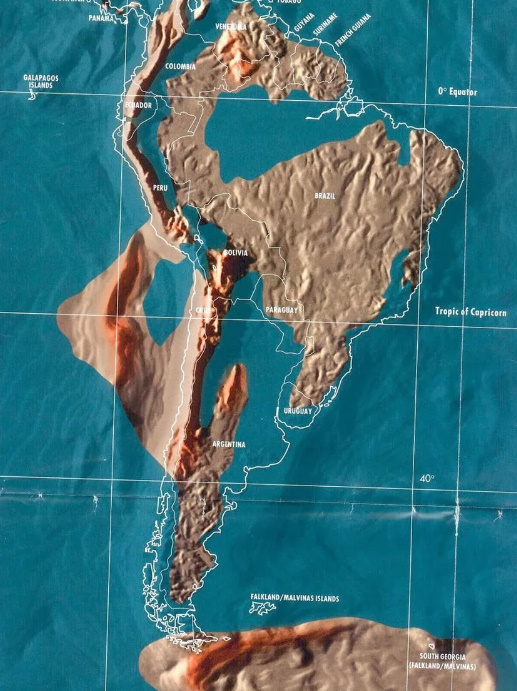
- Okay… now it’s possible that the South American continent itself could be stretching and sinking… let’s look at the Gordon Michael Scallion map of the future:

Let’s compare it to the rio grande do sul area:

The Rio grande do sul area is really close to Uruguay, which from the Gordon Michael Scallion map, looks it is going to have quite a bit of it going underwater. Is Uruguay also flooding right now? Yup! Authorities say the area could face ‘very large floods of serious proportions’… seems like a bit of an odd statement if the area is ONLY dealing with heavy rains right???!!
Weather forecaster MetSul said in a statement the region could face more “very large” floods “of serious proportions.” · In neighboring Uruguay, storms and flooding have closed highways and left nearly 800 people displaced and over 3,000 people without power, the government said.
If I were anyone in the world, I would pay attention to what the planet is going through, knowing the news is never telling is the whole truth.
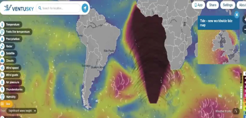
And not only that, is the mothership in the Atlantic ocean trying to tell us something?

Blessings,
Richard Peterson Kuthumi (IITM) Indian in the machine (lightwork) / World Teacher & Friends (spiritual) / The Yellow Ray (updates) / Indian in the machine YouTube / Bitchute / Donorbox / Paypal / Shop / MOST POWERFUL WORDS EVER HEARD IN THE HISTORY OF THE WORLD – THE GREAT PETITIONS


